Alney island initial zoning plan
Positioning of Alney island in relation to water routes and main road routes.
Zoning, pedestrian routes, key features on the site including entrances, a nature reserve, playing fields, paths, and potential for city connection.

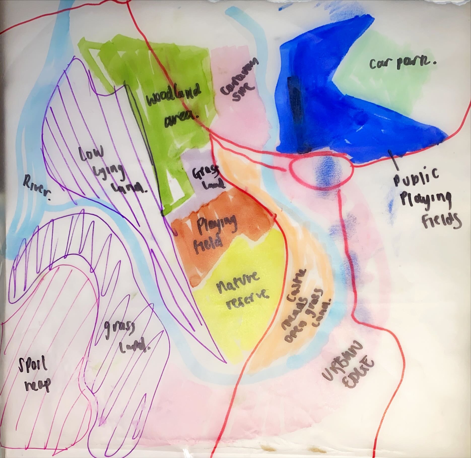
This was the wider field of site allocation. It highlighted some of the surrounding sites like a residential zone, cap park, public playing fields. the existing uses were highlighted; low lying areas, nature reserve and playing fields.
These are highlighted routes that run through and around the site. The roads, river and rail way provide the site with good connection and access.

This site plan located some of the important connectors on the site. It highlighted train routes, roads, cycle paths and the water surrounding the site. I made sure to include some of the significant places of Gloucester I comparison to the site. This was Gloucester docs, Gloucester quays, the cathedral and kingsholm stadium.

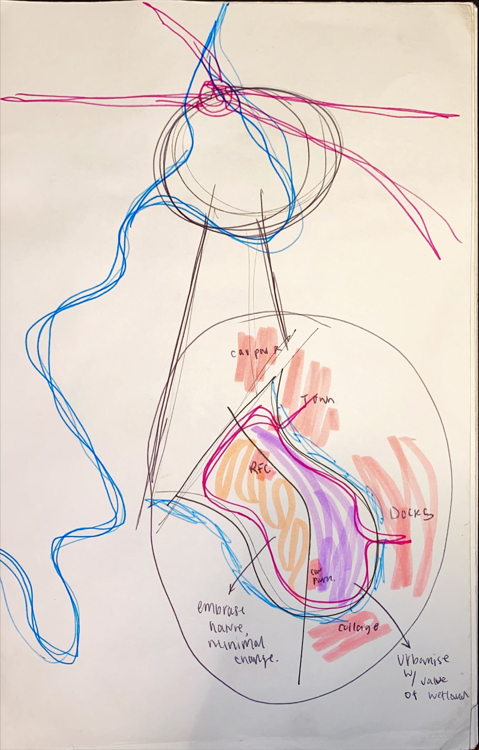
This was an initial site response when visiting, helping me allocate main uses to the site.


Comments
Post a Comment